
This post contains affiliate links. If you buy through them, I may earn a small commission at no extra cost to you. I only list things I’ve actually used.
April 4-5, 2026 | Dauin Backtrail, Negros Oriental

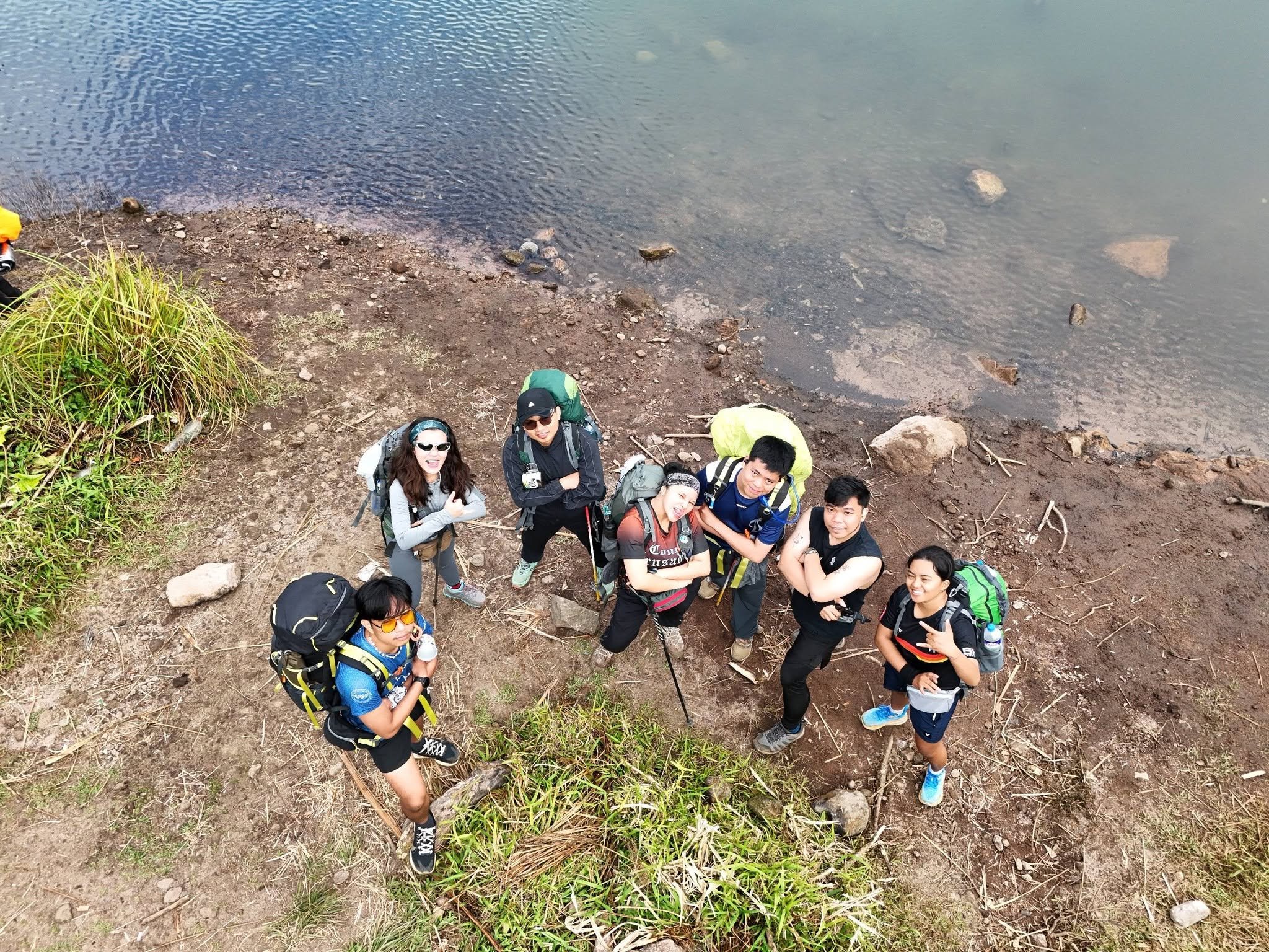
Our group of hikers organized by Miss Cha (Cha’s Me on Facebook)
Up to this point, my idea of “elevation gain” was a flight of stairs and a slightly aggressive bridge on a running route. Mt. Talinis, the big volcano looming over Dumaguete and Valencia, was always there on the horizon.
So in April 2026, it was time to stop admiring it from afar and actually climb it. This would be my first major hike, which came with one big question: could my legs or knees handle it?
Luckily, I had backup. Over the past months, running introduced me to Craze Runners, a small circle of friends who will wake up before sunrise for fun and call it “a nice morning.” The one who got us into this mess? Crizel, our club president, who invited us to join the Major Hike.
The answer was an immediate yes.
The Training
Running helped with cardio, but a mountain is a different beast. To prepare, I built a little routine out of four things:
Walking, because sometimes the easiest workout is just putting one foot in front of the other.
Running, the old reliable, and the reason I met this crew in the first place.
Strength training at the gym, because legs and core would be doing the heavy lifting, and a backpack doesn’t carry itself.
Stair climber workouts, the closest thing to a mountain I could find indoors. Equal parts effective and humbling.
Was it enough? We’ll never know.
The Packing List:
Packing for an overnight hike is a balancing act between “be prepared” and “why is my bag so heavy?”
Here’s how we handled it.
What I Brought:
Hiking bag: which I borrowed from JP.
Sleeping bag: for the cold night on the mountain
Camping Tent: never forget this one
Extra clothes: dry-fit shirts, shorts, socks, underwear/boxers
Wet wipes: no showers up there, so these were the next best thing
Trail snacks: some chocolates, pocari sweat, mentos
A burger: yes, a burger.
3 liters of water: heavy, but worth every kilo.
Hiking shoes: the real MVP
Recommendations:
Hiking and Travel Bags I recommend:
Nature Hike Cloud Trail Hiking Bag (45L):
If you’re looking for a bag that holds up on the trail, this is the one I carried on my second hike up Mt. Talinis. View on Shopee
KAKA 2070D by Bange Philippines (40L):
I didn’t use this one on Mt. Talinis, but it’s the bag I upgraded my travel gear to. It looks capable enough for hiking too, and it’s a cheaper alternative if you don’t want to spend big on a trail pack. View on Shopee
Day 1 (April 4, 2026):
Pick-Up Point (McDonalds at Dumaguete Downtown)
Step one of any big adventure: wake up absurdly early and question your life choices.
Our meet-up spot was the McDonald’s near Lee Plaza in downtown Dumaguete, which is a very fitting place to start a mountain hike, because nothing says “ready for the wilderness” like a group of sleepy friends hovering around a fast-food entrance before sunrise.
Around 4 to 5 a.m., we piled into a jeepney bound for Bediao, Dauin. Backpacks inside the jeep, and everyone was sitting at the roof, yes we were toploading.
Our first stop wasn’t even the trail. It was a house where we had to write down our names and meet our guides. Names logged, guides met, backpacks adjusted. There was officially no backing out.
Time to find out what Mt. Talinis had in store for us.
The Ascent
The climb was a direct assault: pure elevation, with little to no flat trail to catch your breath on.
Everything was new to me since this was my first major hike. For the first few hours, I was figuring out how to walk on the trail and where to place my steps, you get me? Roots, rocks, soil, mud, moss. You step on whatever you find.
You also get all kinds of thoughts on the trail. When is the next stop? How long until we get there? Will I be able to continue? Can I still back out?
The next stop was Lake Yagumyum, about 2.5 to 3+ hours away, depending on your pacing.
Lake Yagumyum (Lunch Break)
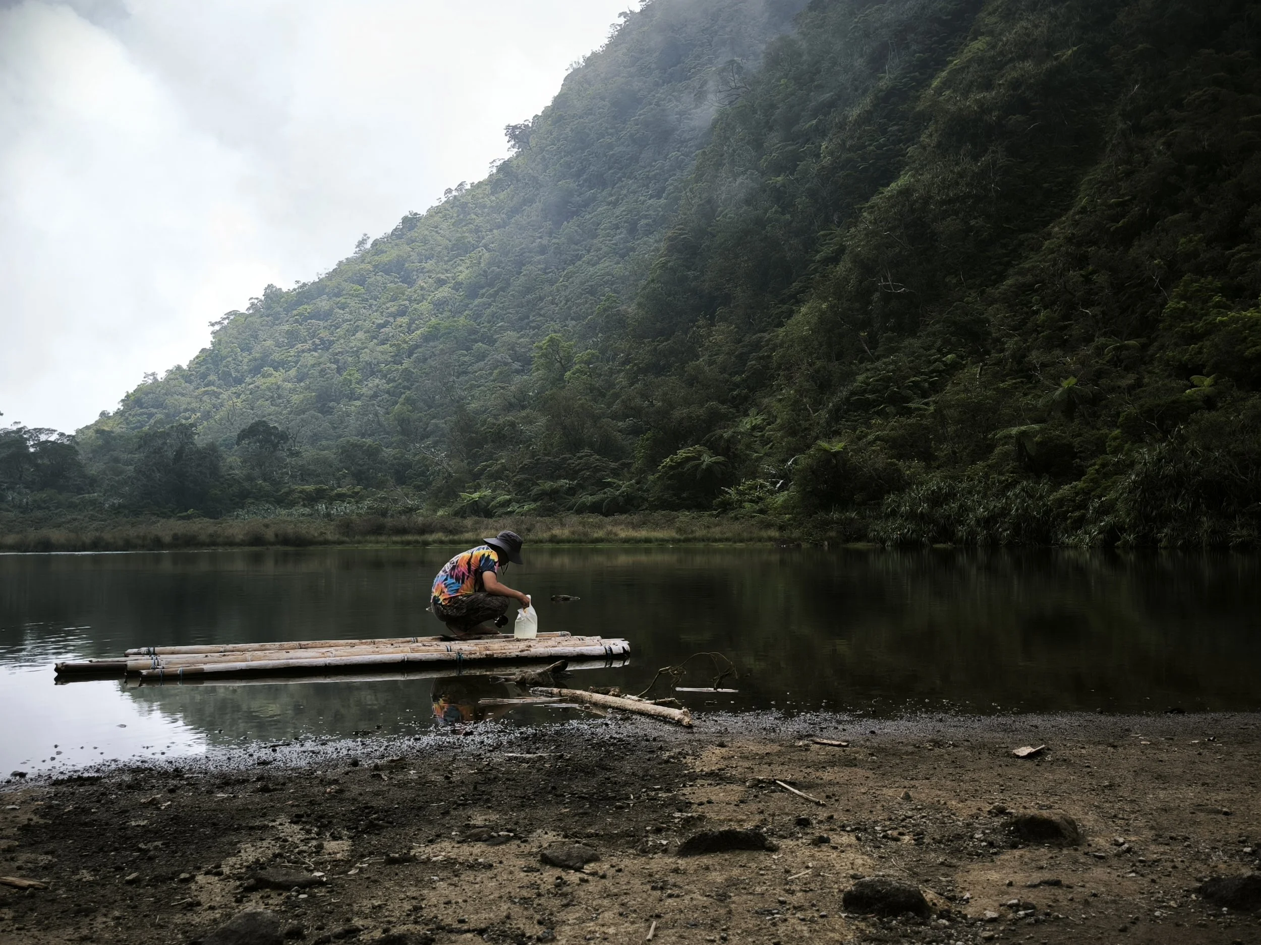
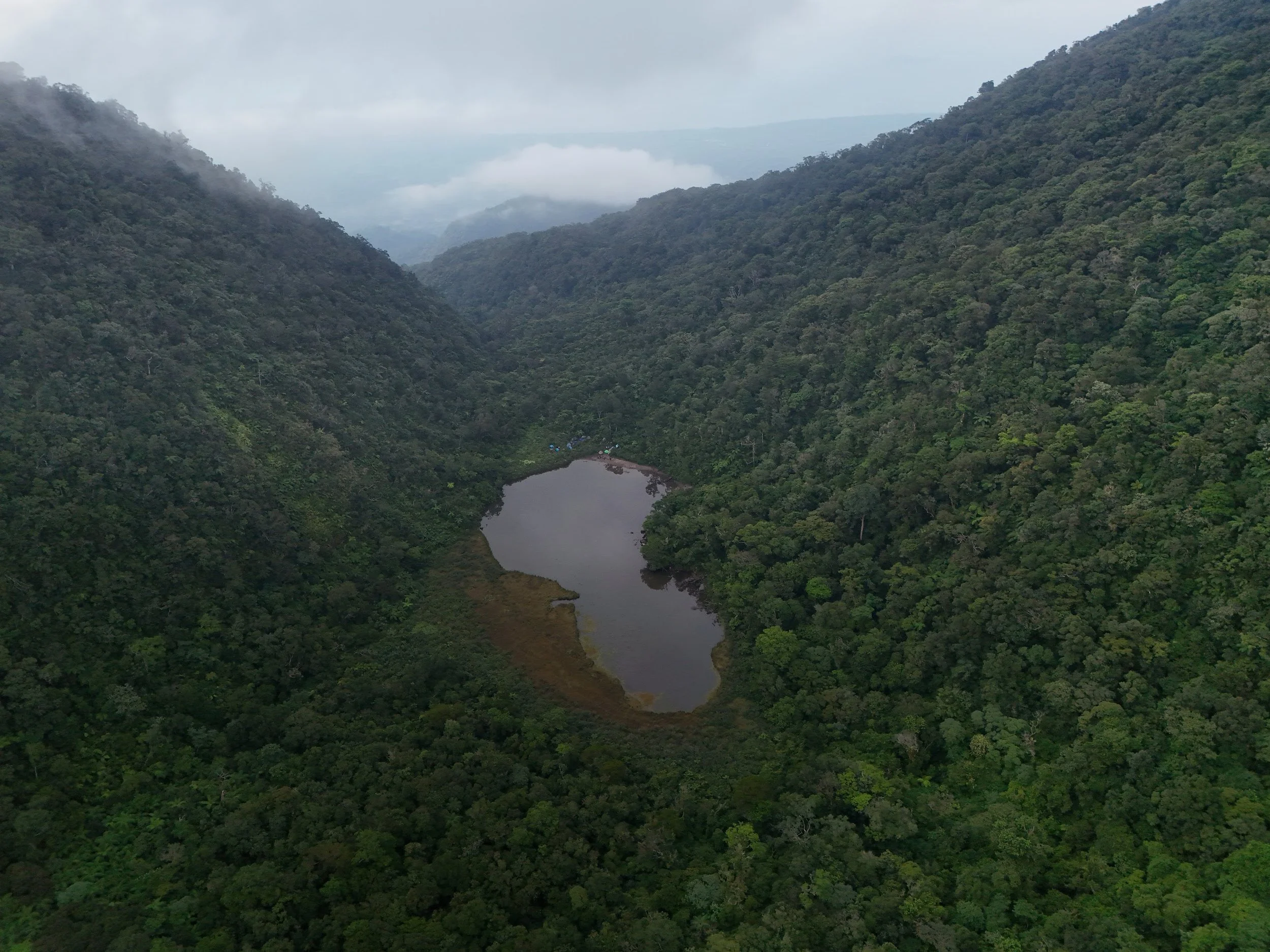
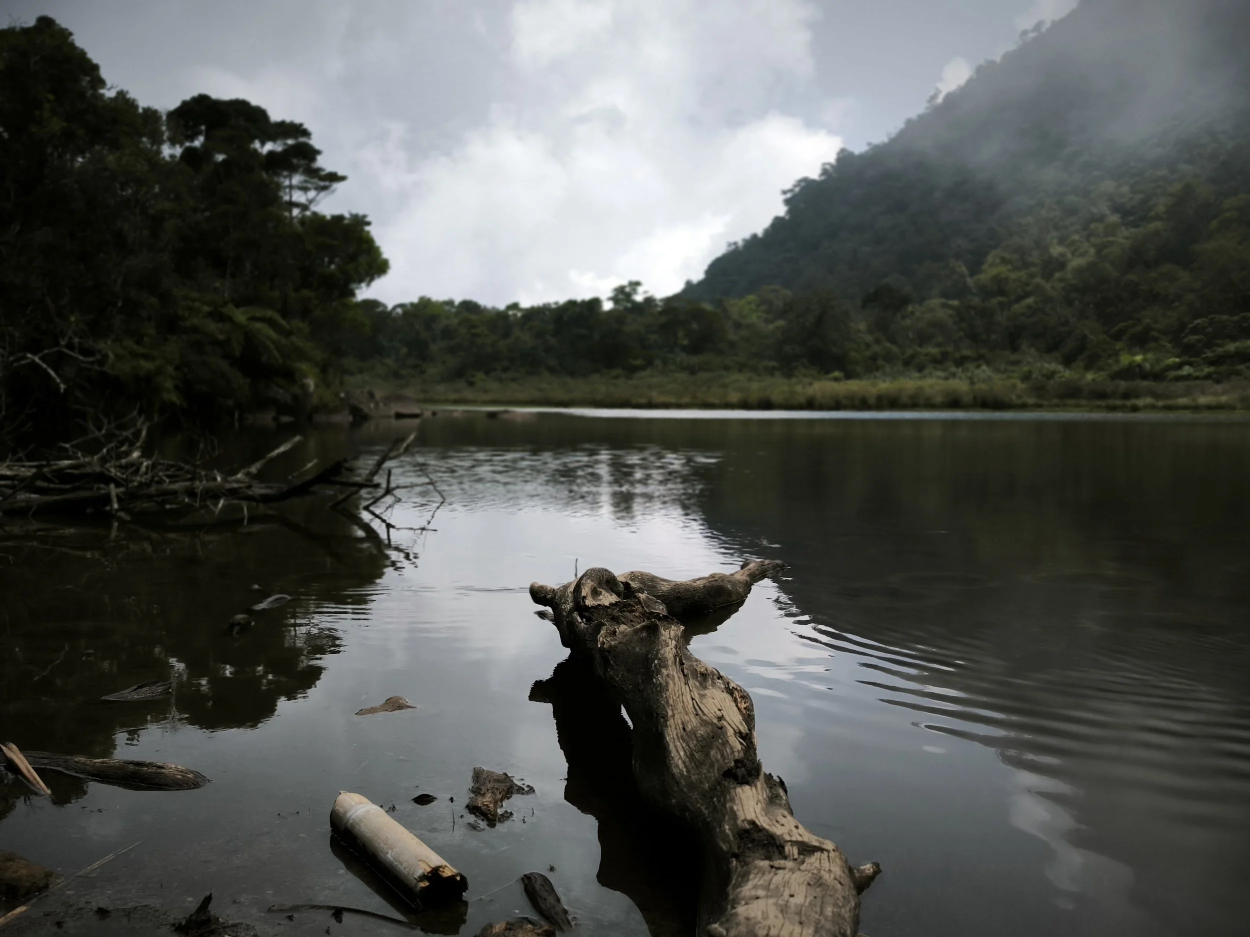
After about 3 hours of hiking, we finally reached Lake Yagumyum, our first lake of the trip. This is where we took a long break and ate our packed lunch.
Lake Yagumyum is also a campsite, and the lake is the water source for hikers. We didn’t camp here, though. This was just our lunch stop.
Here are some shots I took at Lake Yagumyum, Mt. Talinis:
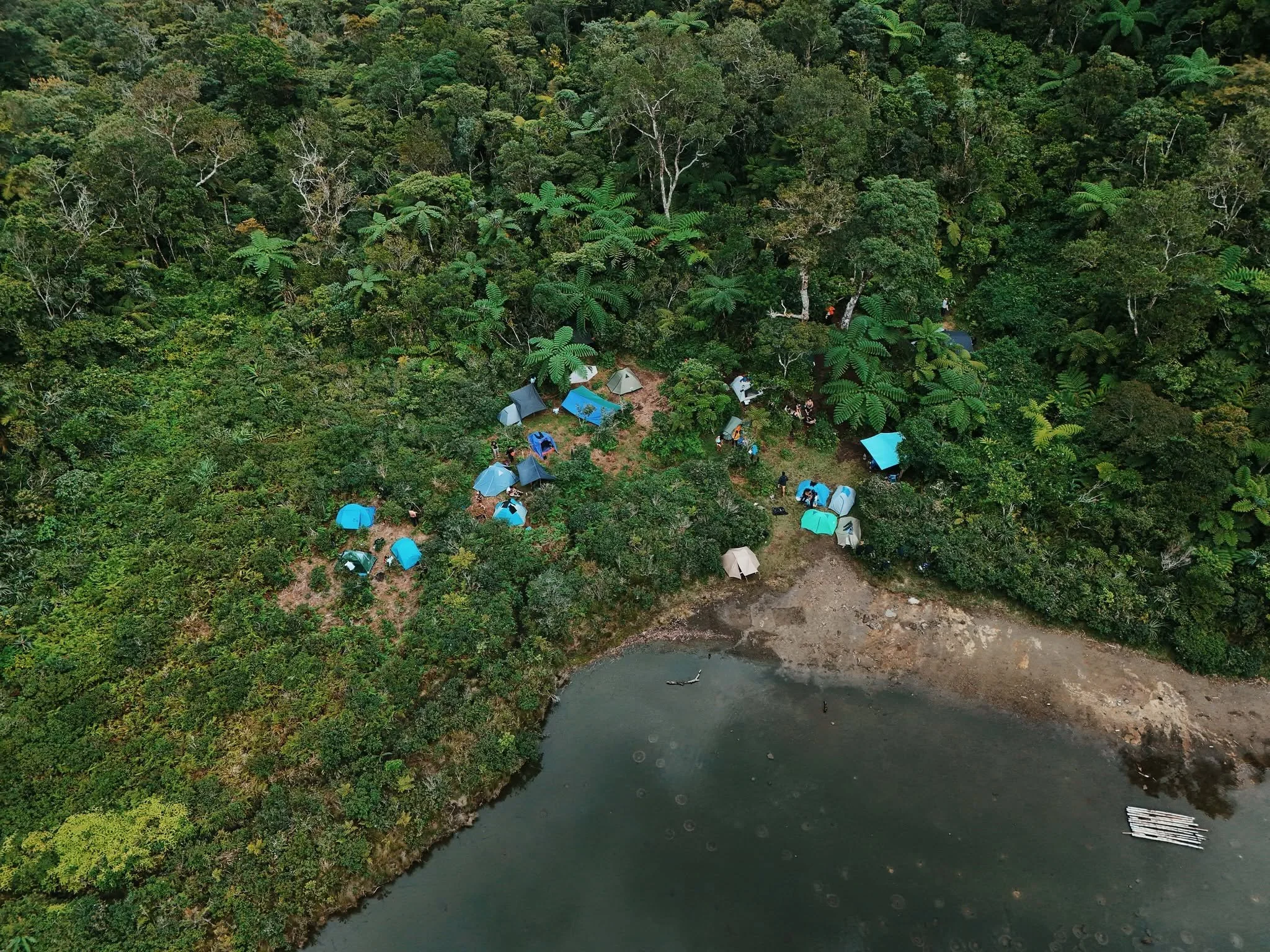
Lake Nailig (Camp Site)
We started the hike at around 6:30 a.m. and reached the camp site at 1:30 p.m.
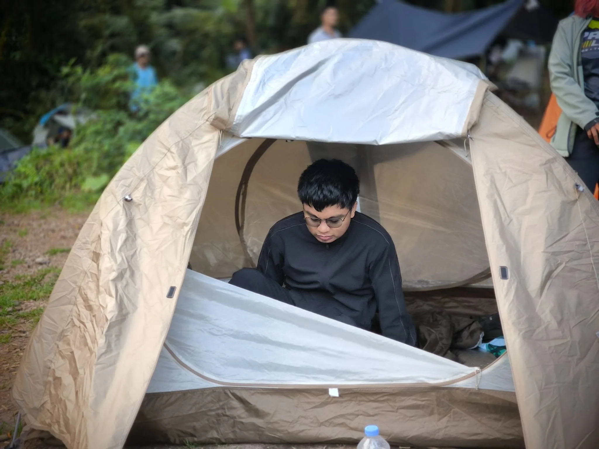
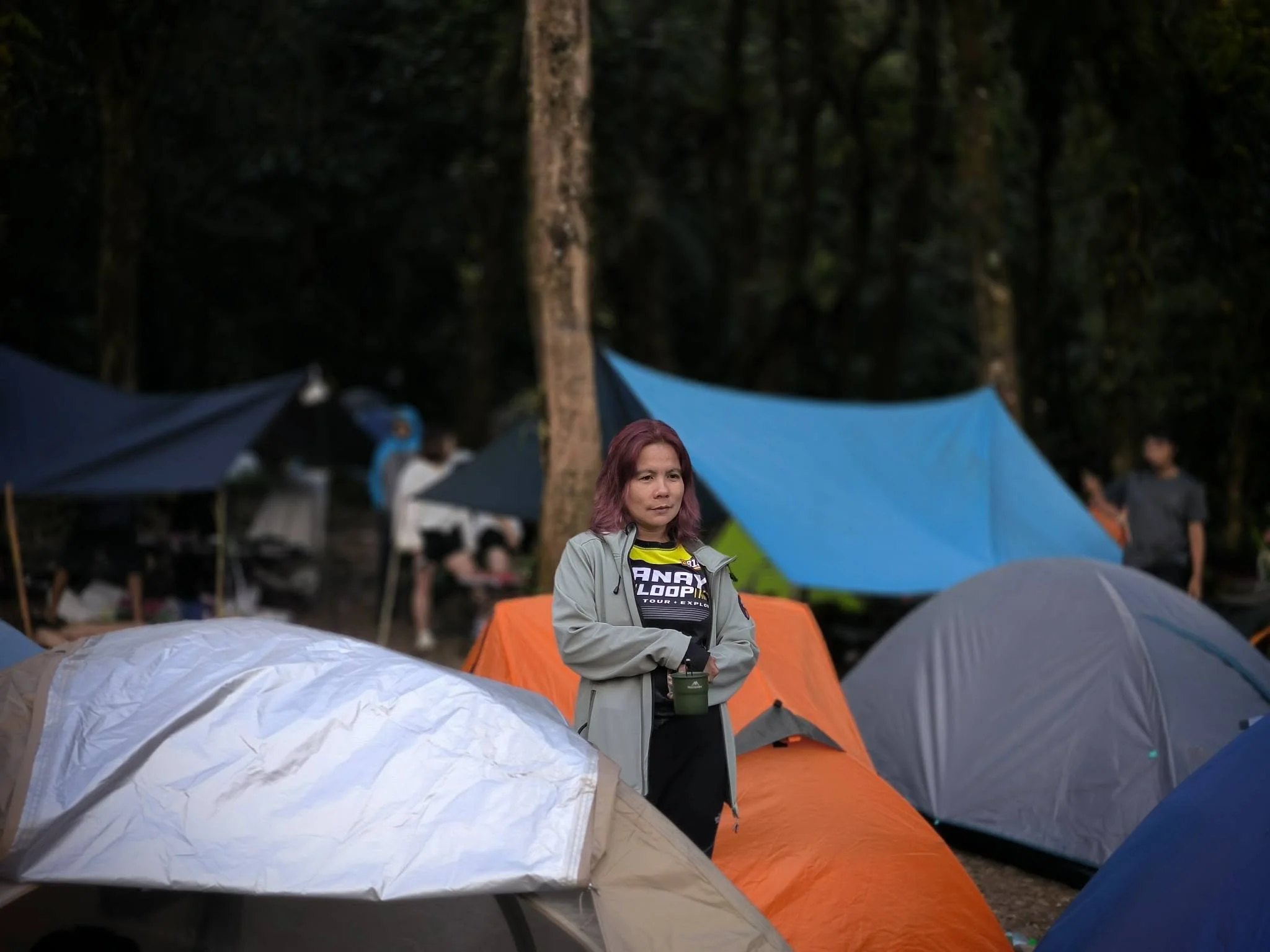
The camp site sits right beside Lake Nailig, a large and majestic lake. We set up our tents and were finally relieved of our heavy bags.
Our original plan was to go for the summit the next morning, April 5. But since there was a chance of thick fog early in the morning, we decided to go right after setting up camp instead, which turned out to be the better choice.
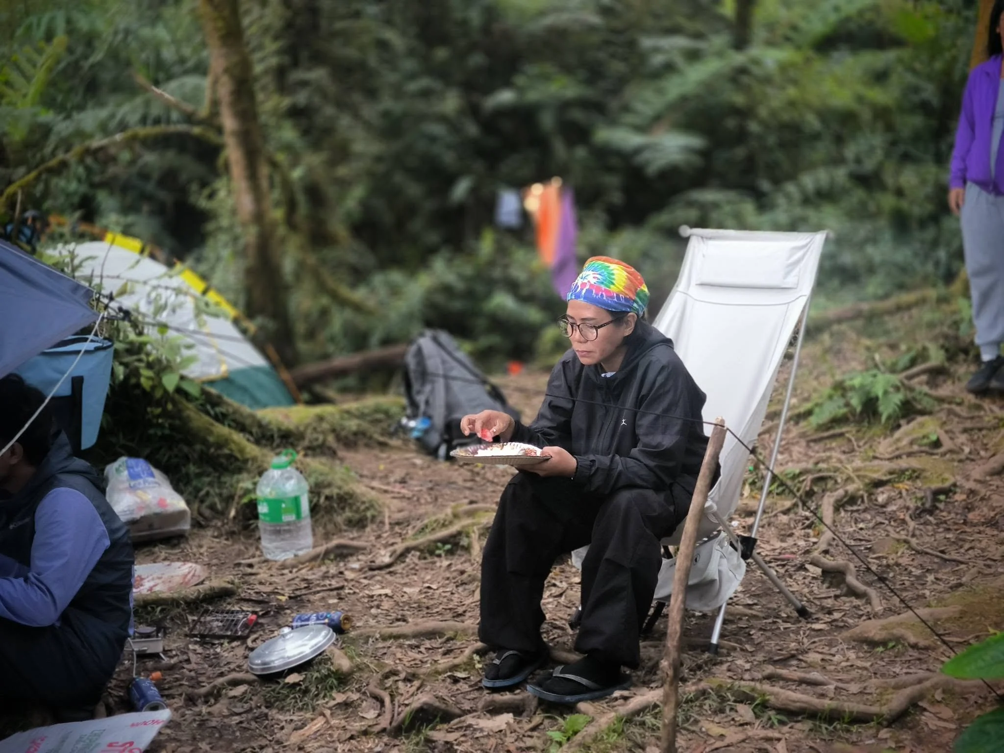
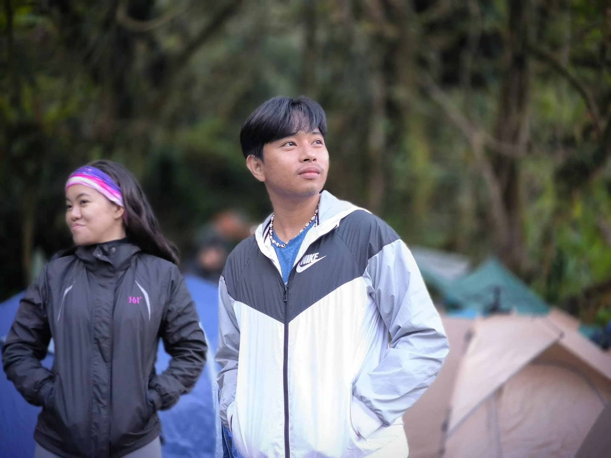
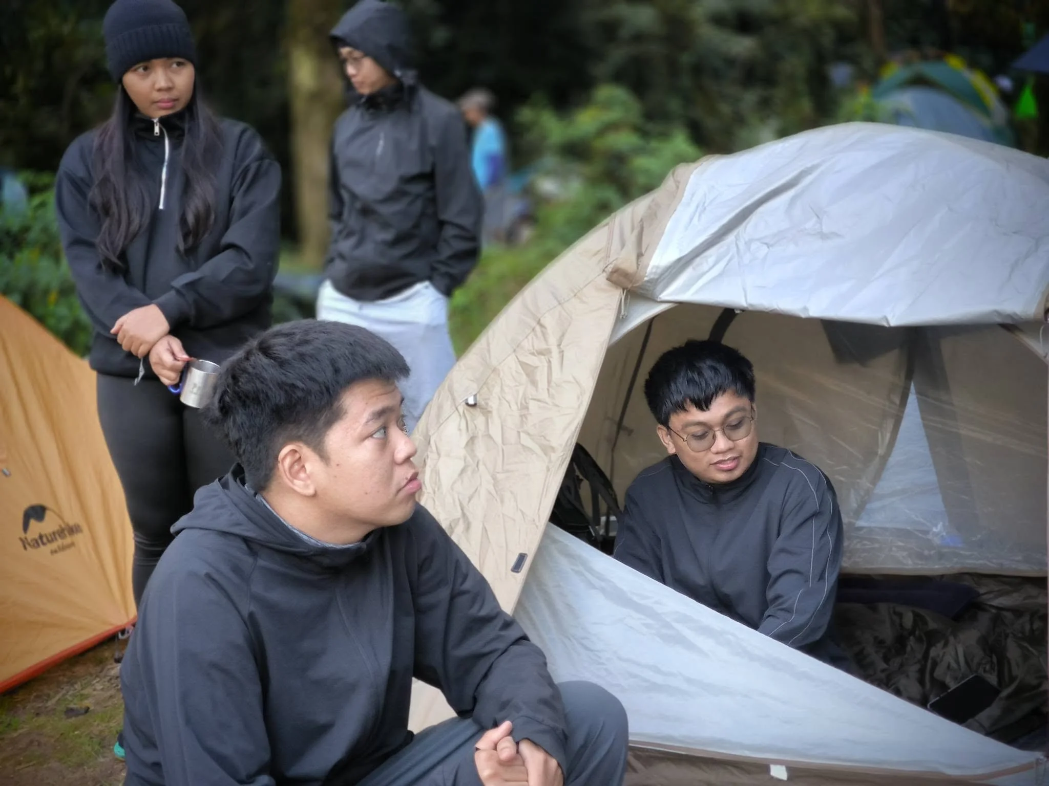
The Summit
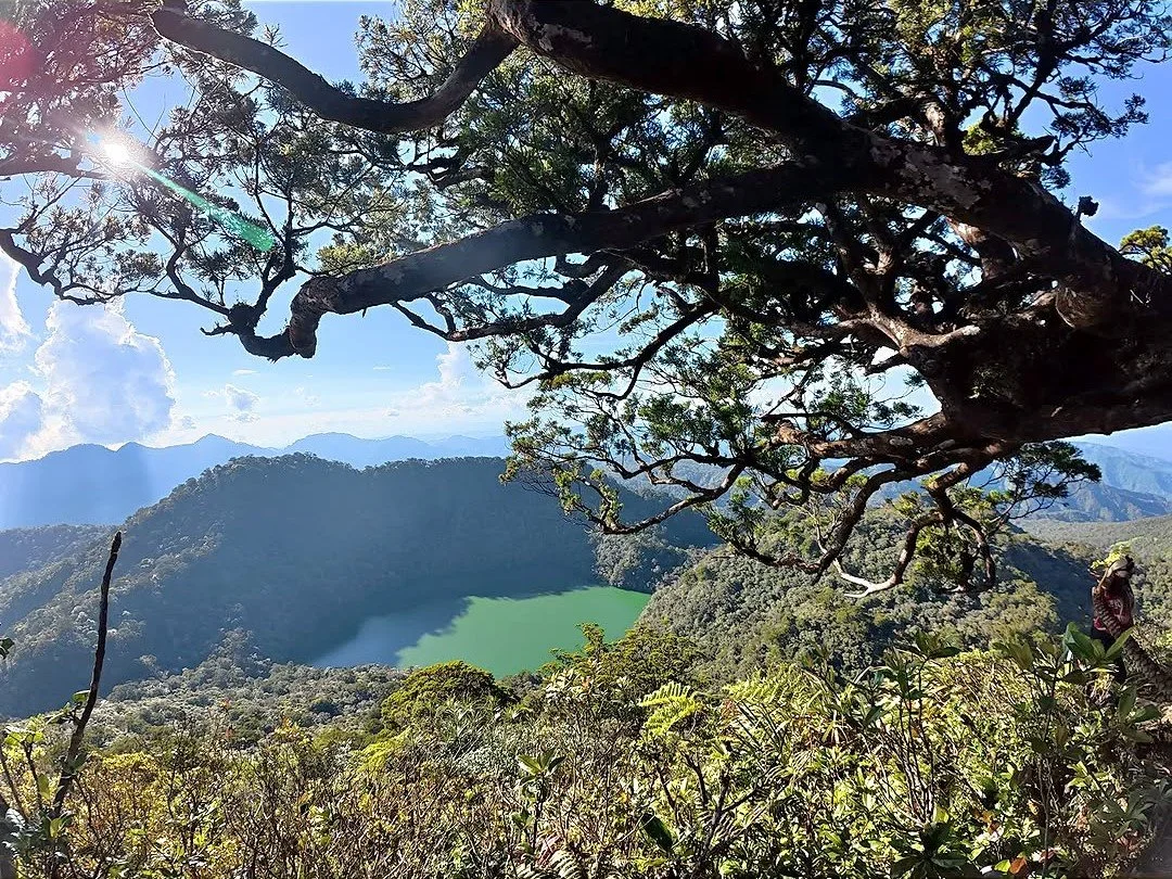
Nacolon Peak, Mt. Talinis
Elevation: 1,903+ meters above sea level (MASL).
Difficulty: 6/9
After setting up our tents and resting for a few minutes, we started the climb to our ultimate goal: the summit at 1,903 MASL, the top of the second-highest mountain on Negros Island, after Mount Kanlaon.
The trail was even harder than the one we took earlier. This was a monkey trail, which means you’re not just walking anymore. You’re climbing, using your hands to pull yourself up and holding on to whatever you can find: (roots, branches, rocks, vines). The steps were higher and steeper, and there was almost no flat ground to rest on.
At one point, I stopped and almost decided to go back. Then I reminded myself that this was the goal, and it would be a waste to turn around now. So I took a long 15-minute break, resting on a branch in an awkwardly steep position, and kept going.
When we finally reached the summit, I met up with everyone there, along with hikers from the other groups. It was the most fulfilling view, one earned through hard work and a lot of pain.
It was amazing to look around from the top of the mountain and not be able to see Mt. Talinis anywhere, because you were already standing on it!
At around 4:20 pm, everyone decided to go back down and head back to the camp site at Lake Nailig, so we can finally rest and prepare for dinner.
Our organizers were already cooking food by the time we were on descent.
Dinner & Socializing
When we got back to the camp site, our organizers had already started cooking dinner. We took our time to clean up and change our clothes so we could be comfortable for dinner and get ready to sleep.
The dinner was so good, but I held back a little on eating. There was no toilet or bathroom up there, and I didn’t want to feel the call of nature in the middle of the night, you know?
I was ready to sleep after dinner, but there was one more thing first, and it was probably one of the best parts of the major hike: socializing with the entire group.
We took turns sharing a little about ourselves and why we decided to join this major hike.
“My ultimate reason was to discover more about myself. Mt. Talinis is also my mother mountain, and I got to do it with my friends.”
The whole event was a 10 out of 10 experience. It was made possible by Miss Cha (Cha’s Me on Facebook), who led the entire group, along with our experienced guides who made sure everyone was safe.
After dinner and socializing with the group, it was time to rest, sleep, and recover for tomorrow’s descent.
Day 2 (April 5, 2026):
Breakfast & The Descent
We woke up at around 4 to 5 a.m., partly from the cold and partly from the sound of everyone else stirring in the camp site, and our organizers preparing breakfast.
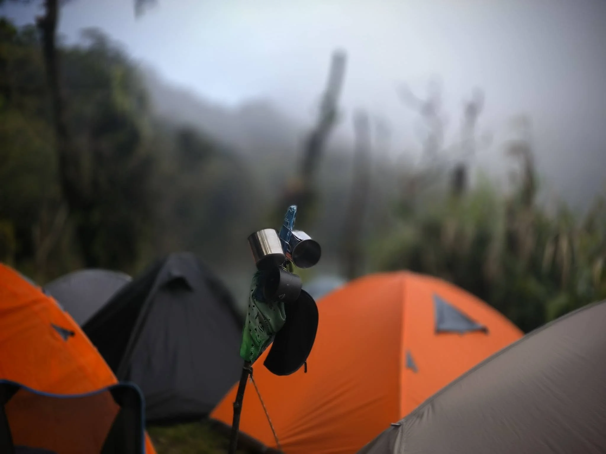
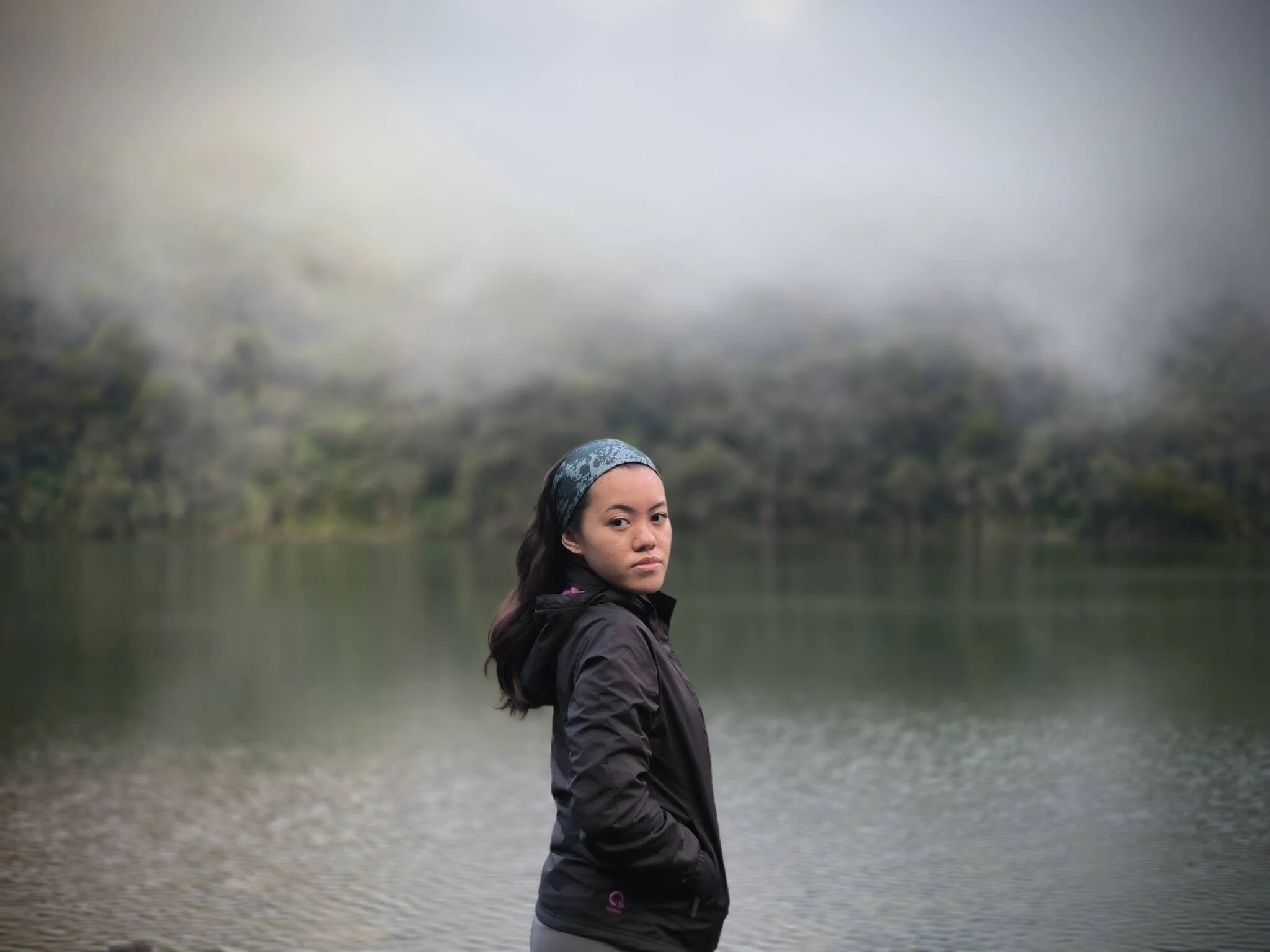
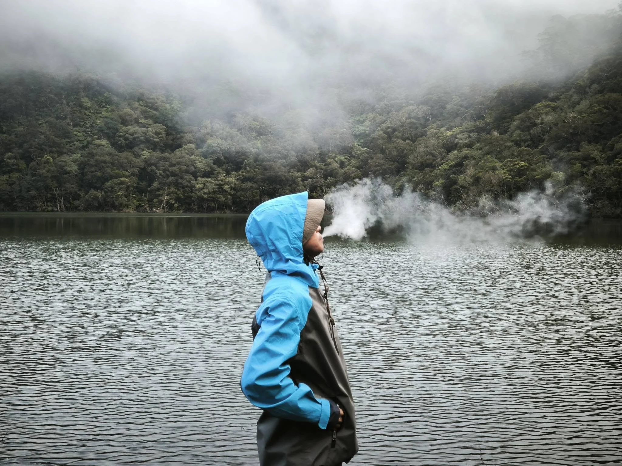
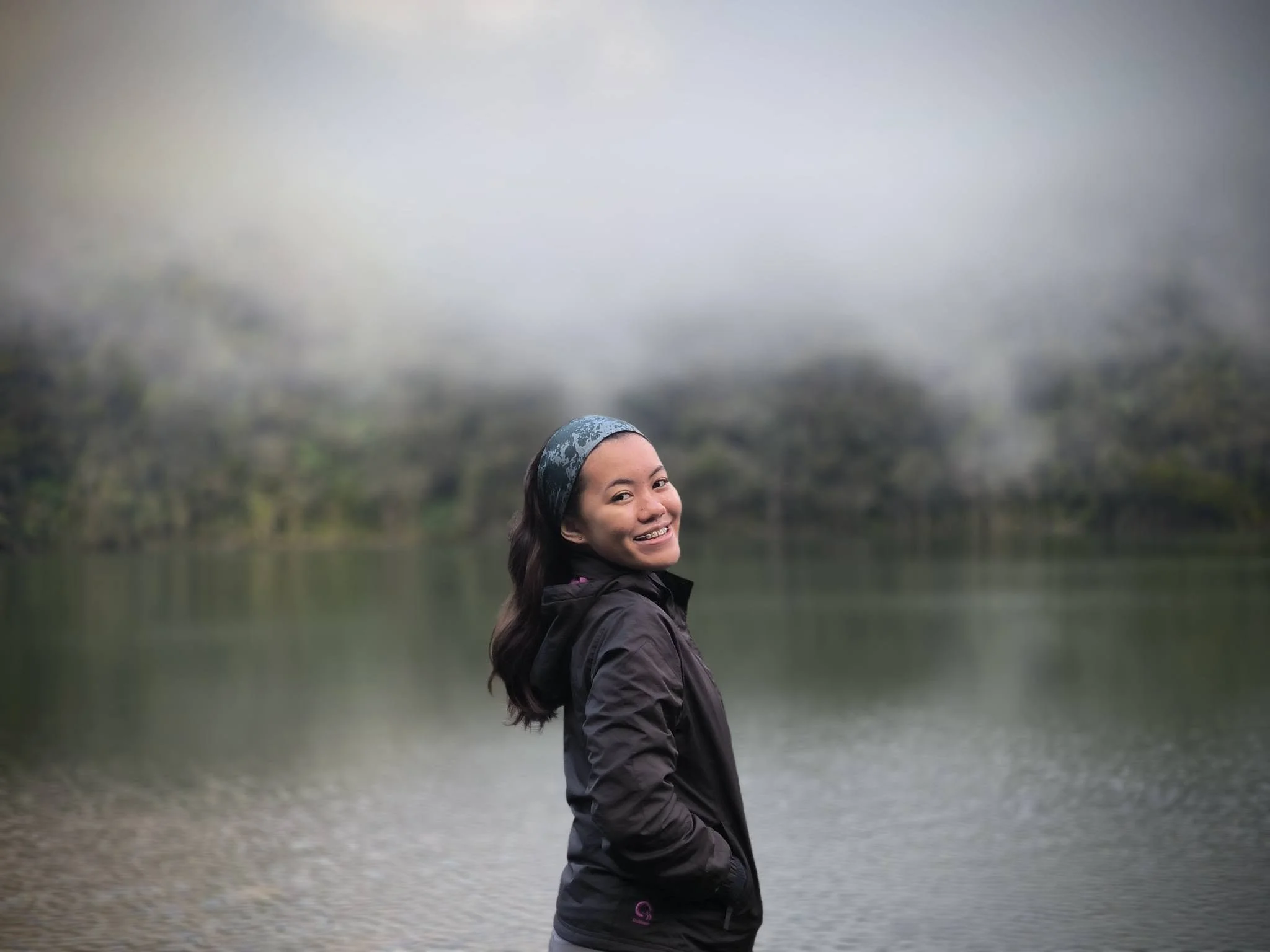
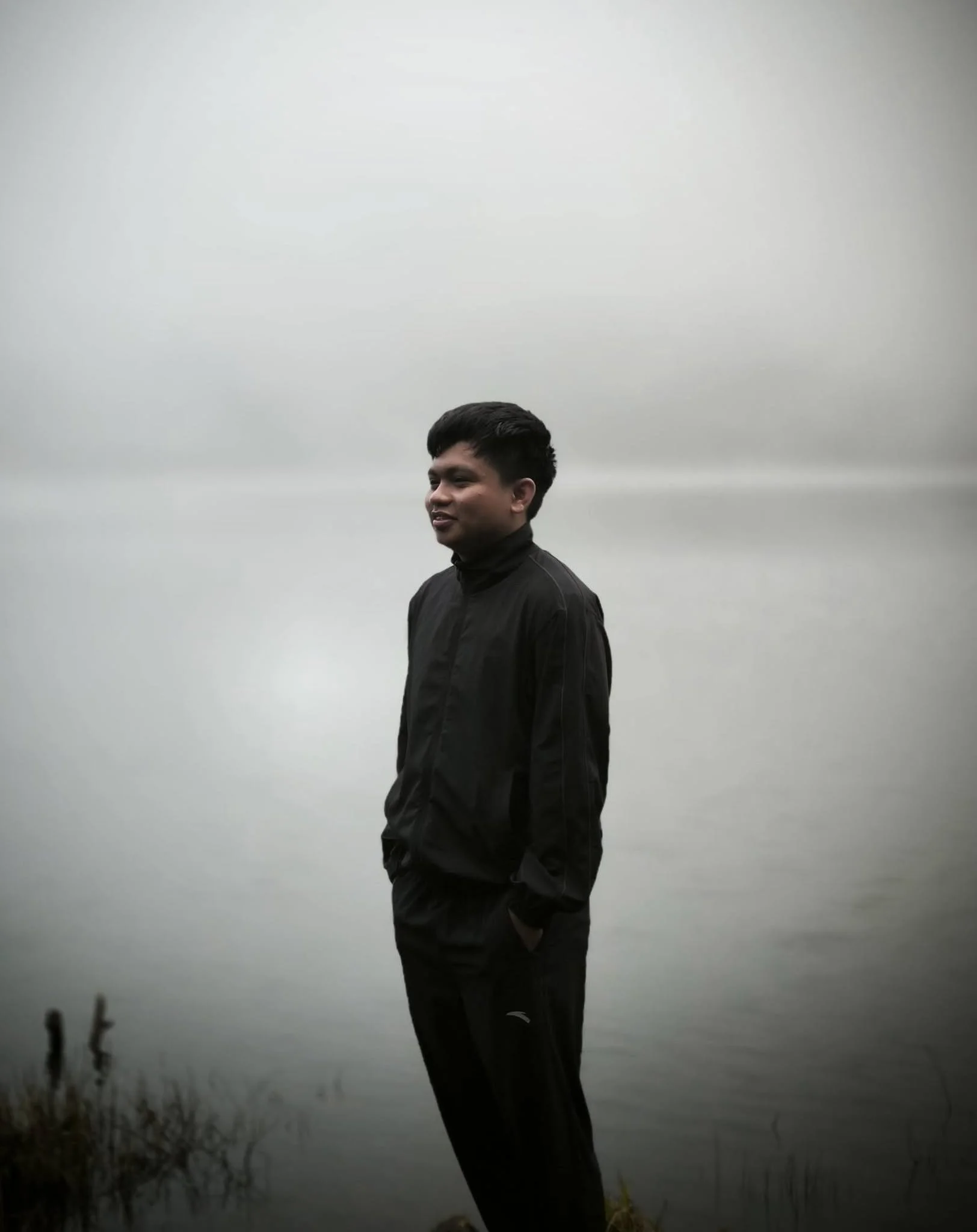
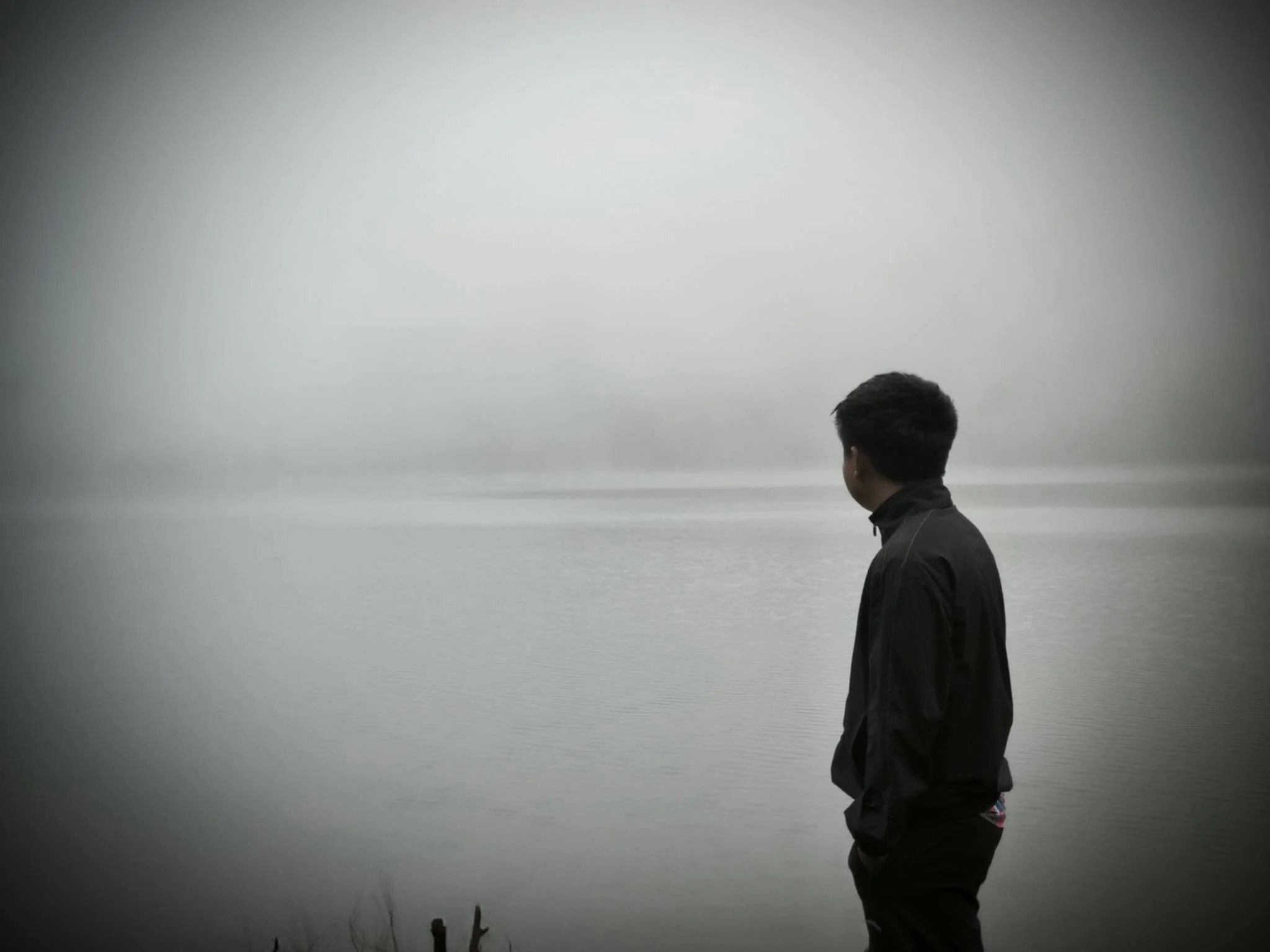
Outside the tent, there was zero visibility, with the fog kissing the lake.
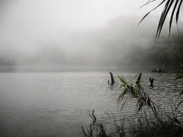
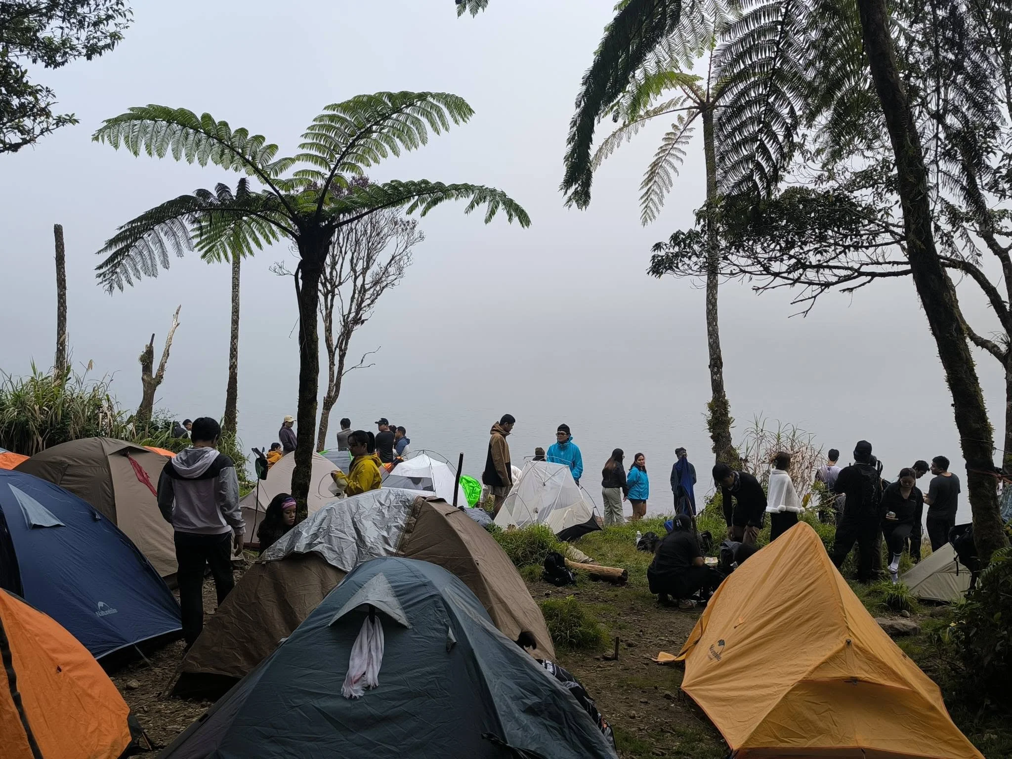
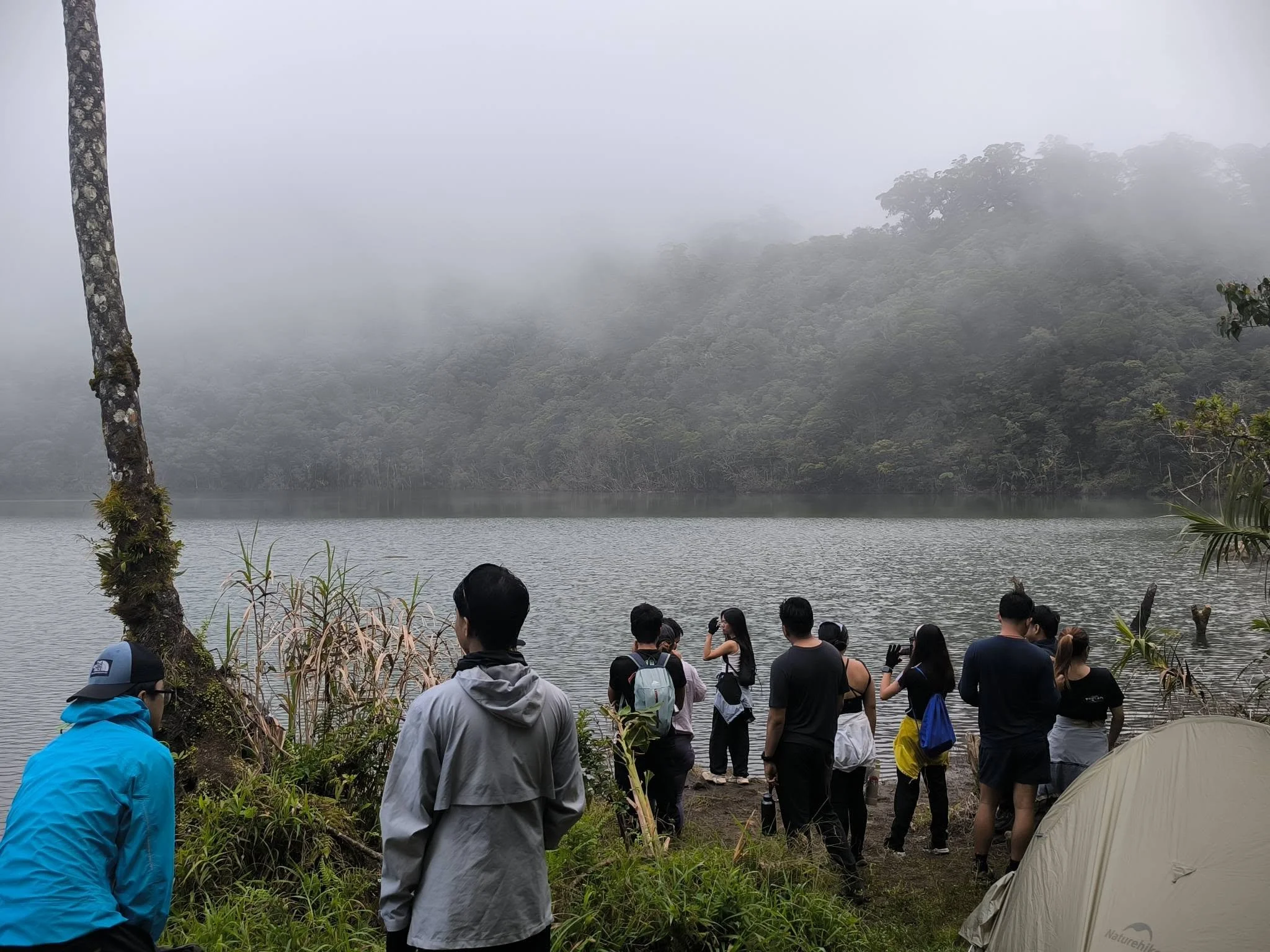
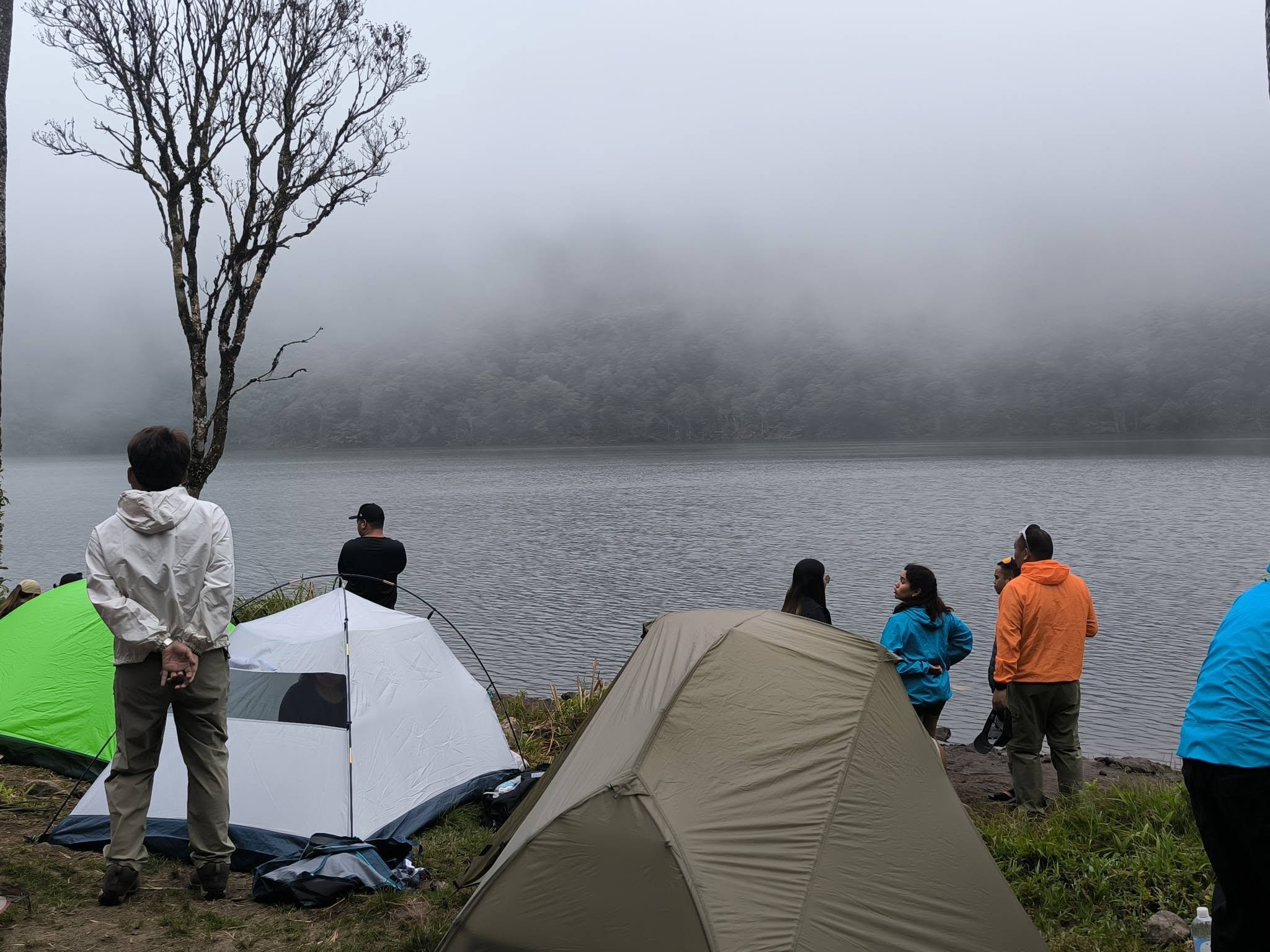
The fog made for good photo conditions, so we squeezed in a few photoshoots before breakfast.
These portraits were all taken with the portrait mode on my Xiaomi 13T.
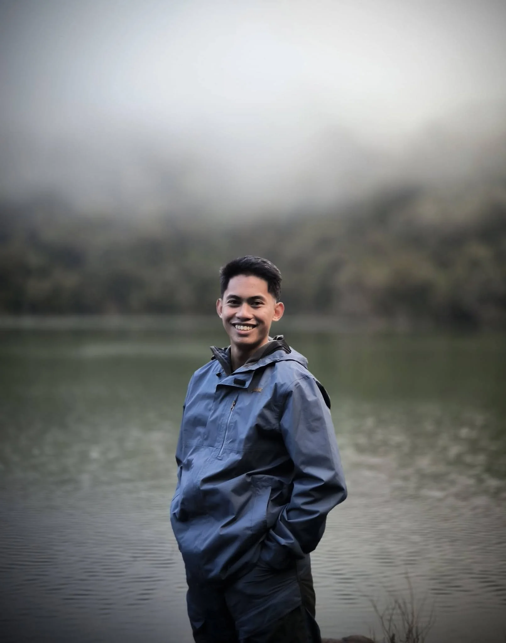
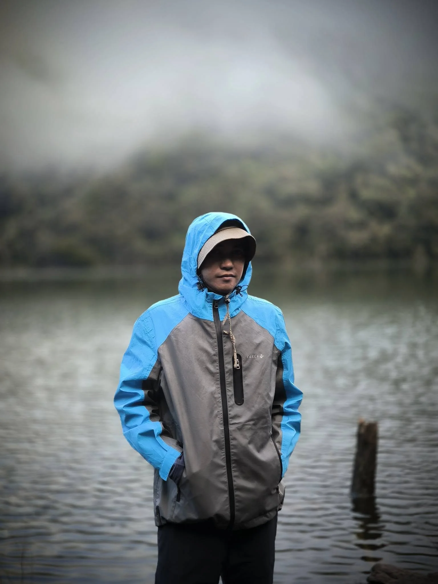
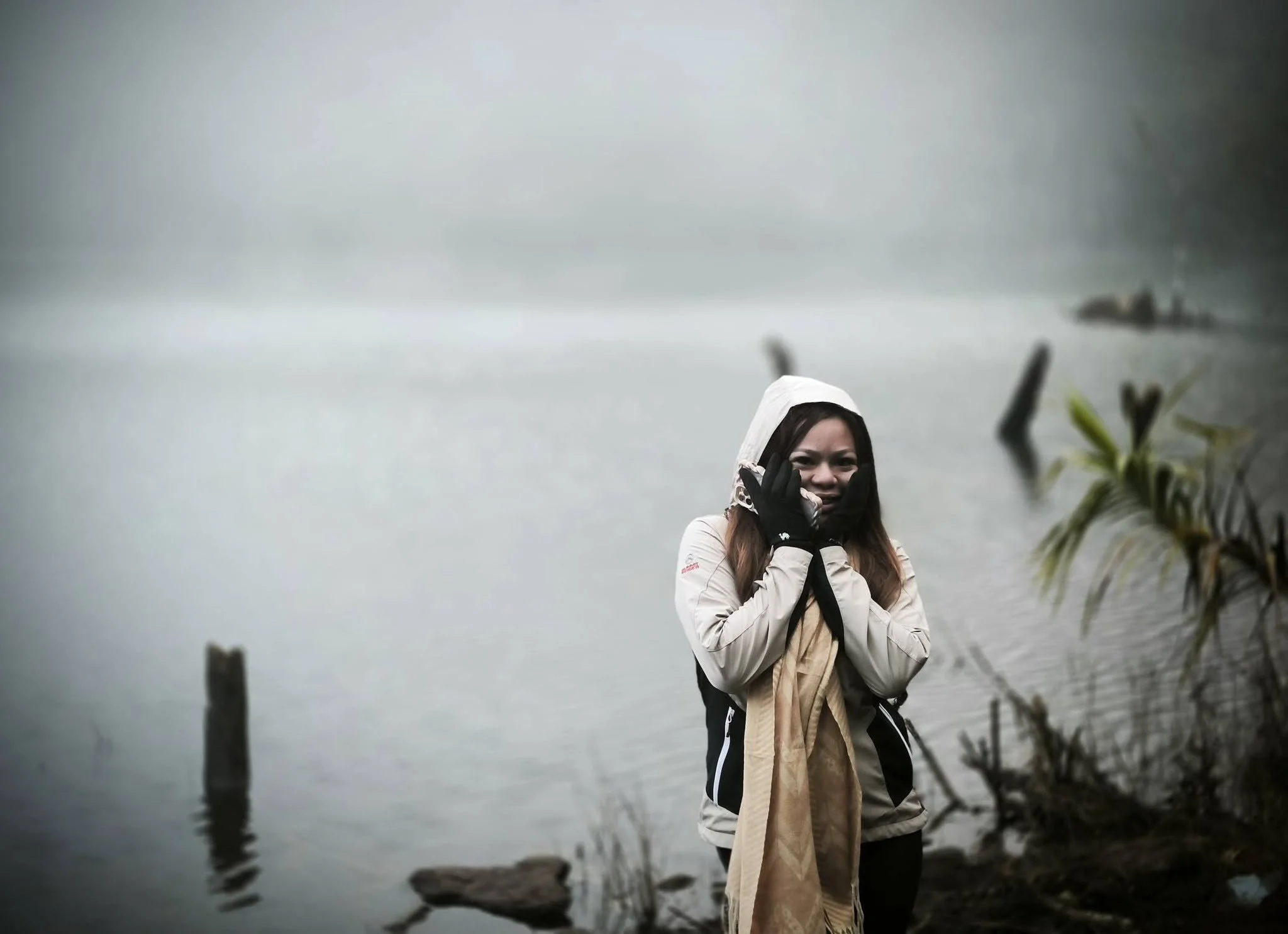
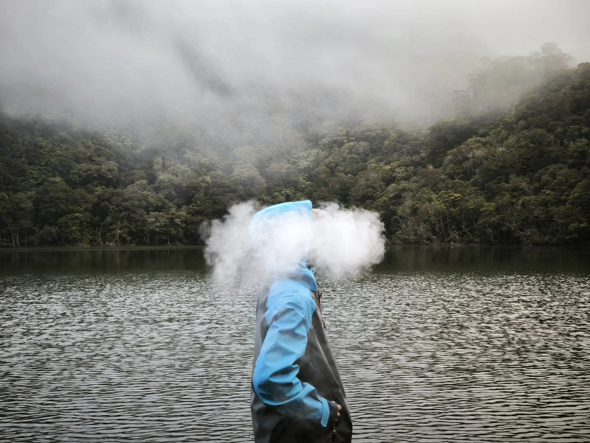
At around 6 or 7 a.m., we had breakfast and boiled some lake water to prepare for the descent to the pick-up point and back to the city.
We then took down the tents and packed our bags, and everyone took a few final photos.
We started going down at around 9 a.m., following the same trail we took up. It was much easier this time, though not for our knees.
We reached the pick-up point at around 3 p.m. From there, we rode habal-habal (motorcycle taxis) to the house where we had to sign out and meet the rest of the group.
Back to the City
It was still unbelievable at that point that we had actually reached the summit and were now back here. At the top of the mountain, you appreciate a lot of things: water, patience, and every bit of energy and breath.
They gave us our certificates for completing the Mt. Talinis major hike, and we finally rode the jeepney back to Dumaguete, tired and drained but fulfilled, with one of our greatest achievements behind us.
The End and What’s Next?
The whole event was a 10 out of 10 experience. Thank you to Miss Cha (Cha’s Me on Facebook) and our guides for making this possible, and to everyone in the group for the company, the stories, and the encouragement.
Remember when I kept asking myself if I could still back out? I’m glad I didn’t. This was my first major hike, and it won’t be my last. Here’s to the next mountain.
If you’re looking for an organizer or guide for your Mt. Talinis Overnight Hike, you can check out Cha’s Me or Palaboys Dumagetme on Facebook.
Cheers!
Gab
